
Upcoming forecast update

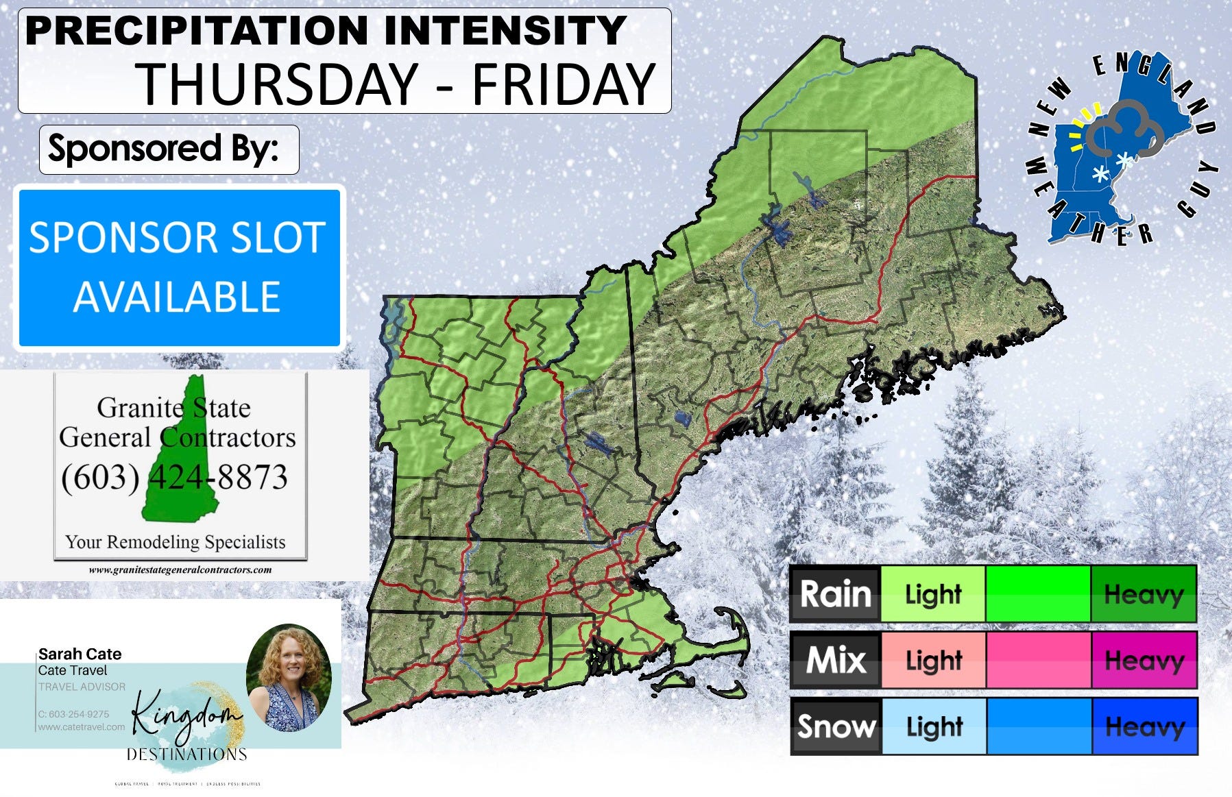
Slight change to the short-range forecast as we will likely see some scattered showers move across the region Thursday into Friday.
Additional showers are likely Saturday into Sunday with snow showers likely for northern VT and NH through the day Sunday.

None of this looks to be a washout and nothing drought impacting.
On the long-range, we are watching some rain for the 3rd-4th right now with a tropical origin event that may be brewing for the week of the 6th. Model runs for this are showing everything from out to sea, to a Florida hit, Georgia hit, and potential glancing blow to New England. This is the storm I mentioned last night that is forming in the Caribbean and could really go anywhere it wants right now.

Halloween trick or treat time looks mostly dry and decently warm, but we could see a few showers to the north in Maine.

In the tropics, we do need to keep an eye on Oscar, or at least it's remnants. Since my last update, we went from looking at nothing more than a rainstorm to this storm holding together as at least a tropical storm and making landfall in Newfoundland as such. This would be around Friday of this week. This looks to thread the needle to the west of Bermuda staying over open water. Where the Atlantic is still above average temperature and looks to stay that way for the foreseeable future, this storm will have many opportunities to not necessarily strengthen but hold together just enough to bring a deluge of rain and some winds. We'll just have to keep an eye on it.
