Thursday Update
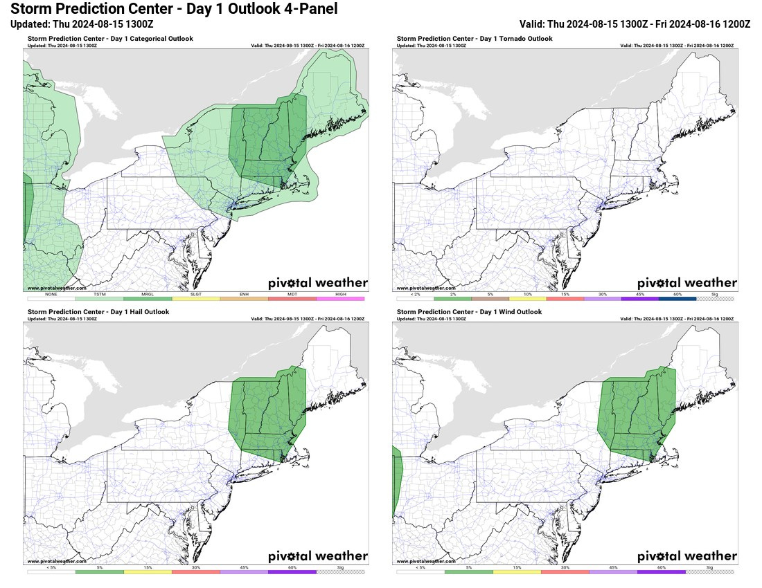
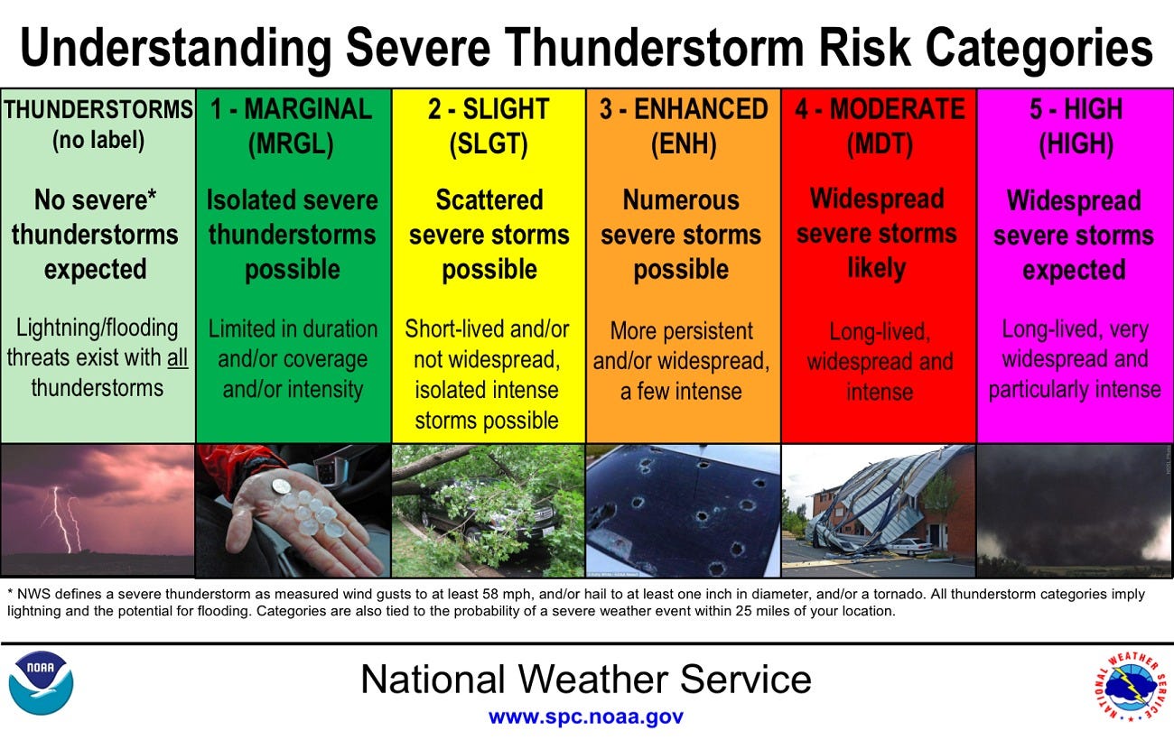
A marginal chance for severe weather later today. This means very scattered storms with low potential.
Mostly, scattered showers will move through in the afternoon. Some showers may result in heavy downpours.
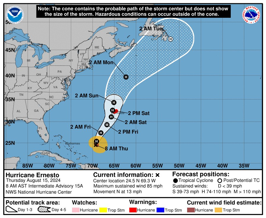
Hurricane Ernesto is still heading towards Bermuda. This storm is now expected to make it to a Cat 3 just before dropping back down to a 2. There is still a risk to eastern Canada, specifically Newfoundland. By the time it reaches up here, it will likely be downgraded to a post tropical storm but may still carry the characteristics of a Cat 1 hurricane. Time will tell, but the ocean temps are high enough to support this storm.
New England impacts will likely begin Sunday and will be higher than normal surf and riptides at the coast, with increased swells in the Gulf of Maine and Canadian Maritimes.
There really is not much wiggle room for this storm. It is threading between a trough and high pressure which is making it a fairly defined path.


