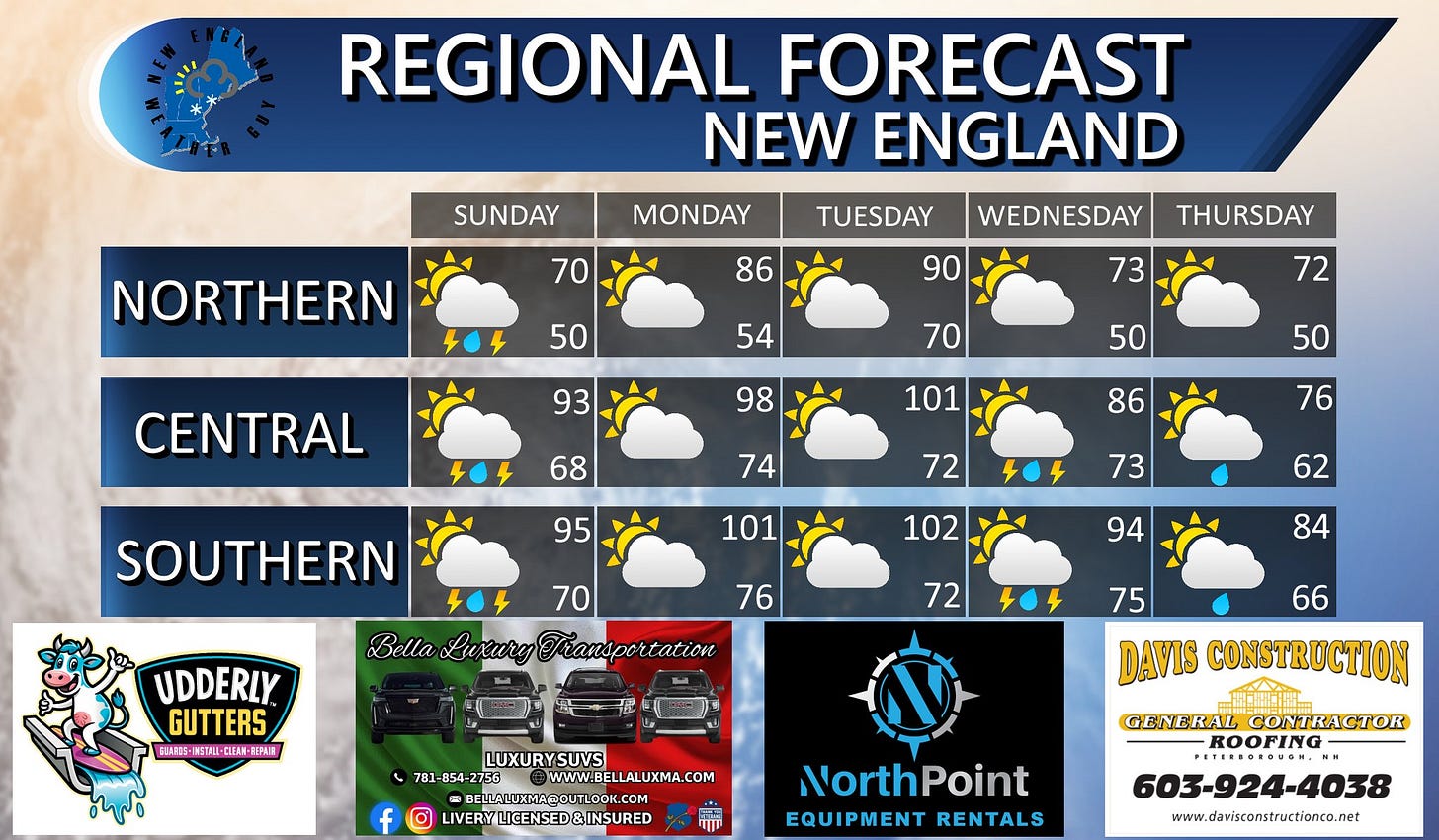
Overnight Storm System and a heat wave
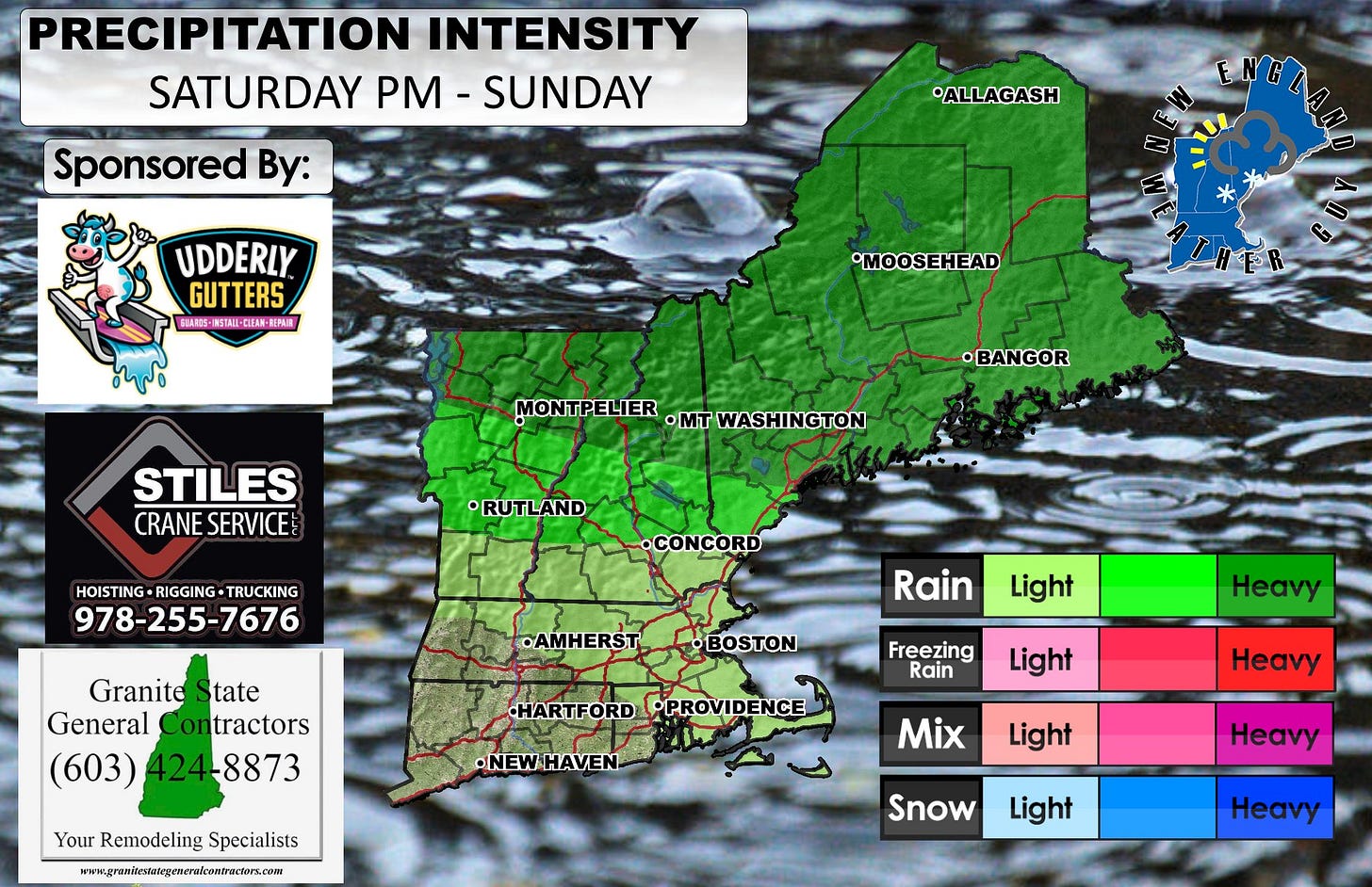
Here's an uncommon one for you.... Mesoscale Convective System or MCS. In layman's terms, this is pretty much a bunch of little thunderstorms that merge together to create one giant thunderstorm, much like what you might consider a baby hurricane. This is capable of producing frequent cloud to ground lightning, heavy downpours, hail, and strong wind gusts. While tornadoes are possible, these systems are more commonly associated with straight line winds.
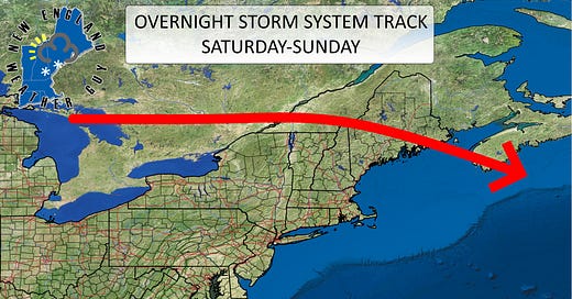
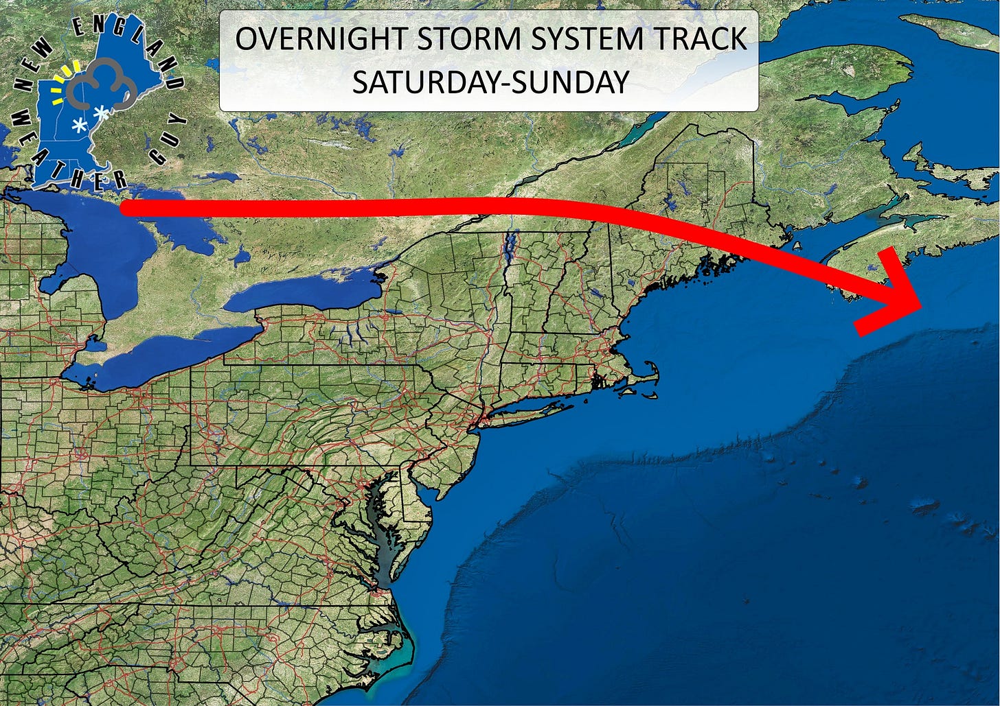
New England will be impacted by an MCS late tonight through tomorrow morning. A system moving across the Great Lakes out of Canada will move through the region during the early morning hours. This is exceptionally dangerous for those camping as this will be in the middle of the night and you won't see it coming.
The main area of impact will be from about Montpelier, VT across diagonally into the Lakes Region of NH up into farther northern Maine. Depending on the exact track of this, thunderstorms could impact areas down into Rutland, VT across to Concord, NH and out to the Salisbury, MA area.
*This is a potentially serious and dangerous situation. *
However, this does not mean pack up and head home. Use caution and have a protected area such as a vehicle or permanent structure readily accessible and you should be fine.
Timing for this system looks to be from about 3am to 10am.
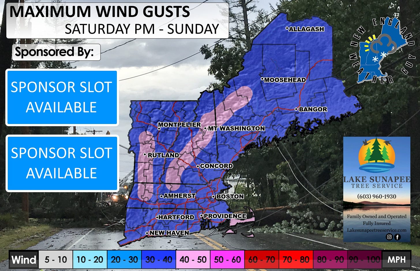
Along with this system, we will have some wind for Sunday. This may be comparable to Friday's wind to an extent. As this storm system will create atmospheric disruption and a significant change in the pressure gradient, air pressure will try to stabilize around and behind this storm system and this will cause some potential wind gusts in the 30mph range or higher.
Now that we have that out of the way... Oh look! A nice Saturday without rain, snow, or ice for the entire region for the first time in almost 6 months it seems.
As we head into next week, Thursday's heat will feel like a lukewarm bath. Ambient temperatures will skyrocket starting Sunday and won't really drop off until Thursday. Heat indexes for Monday and Tuesday may reach upwards of 106 for some areas, especially for southern New England. Typical New England going from 65 to 100 like you know you just saw the last Statie for the next 20 miles on I93.
We will likely see some pop up storms later in the week so we will need to look at things on a day to day basis.

