TODAY-
Snow squalls are likely as a front moves through the region. This may result in temporary light snow accumulations.
Snow squalls can lead to complete whiteout conditions with blowing snow, and even super cooled air. There is no real way to tell where or what the intensity will be as these squalls form, but you can see the map below for the likely timing of when to expect them to move through. Times are in PM.
As this line moves through the area, the temperature will drop dramatically, and we will see a flash freeze.
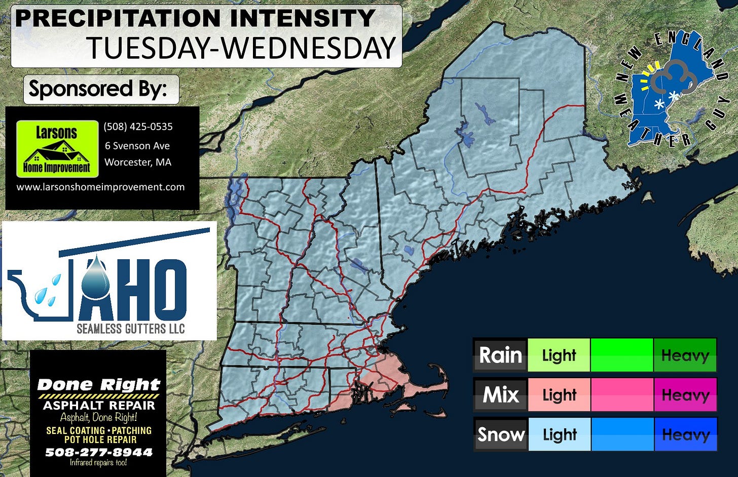
TUESDAY-
A weak system will move through the area midday Tuesday into early morning Wednesday. This will bring light snow accumulations across the region. Anywhere from 1-3 inches is possible.
Sponsored By:


